Views: 0 Author: Site Editor Publish Time: 2022-08-24 Origin: Site

Three-dimensional laser scanning technology is a technology that began to appear in the mid-1990s, and it is another new breakthrough in surveying and mapping technology after the GPS space positioning system. It quickly acquires the three-dimensional coordinate data of the surface of the measured object with a large area and high resolution by means of high-speed laser scanning measurement.
3D laser scanning technology can quickly and massively collect spatial point information, providing a new technical means for quickly establishing a 3D image model of an object. Because of its rapidity, non-contact, real-time, dynamic, active, high-density, high-precision, digitization, automation and other characteristics, its application and promotion is likely to cause another revolution in measurement technology like GPS.
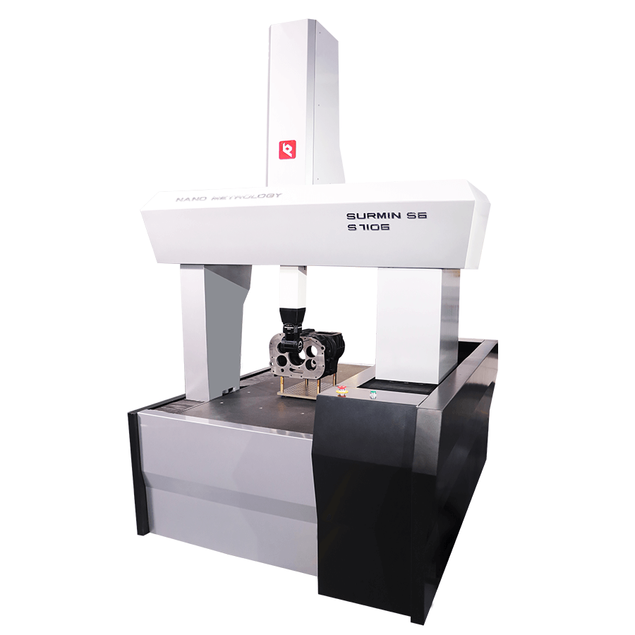
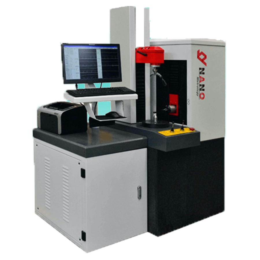
As the main component of the 3D laser scanning system, the 3D laser scanner is composed of a laser emitter, a receiver, a time counter, a motor-controlled rotatable filter, a control circuit board, a microcomputer, a CCD machine, and software. A technological revolution in the field following GPS technology. It breaks through the traditional single-point measurement method and has the unique advantages of high efficiency and high precision. 3D laser scanning technology can provide 3D point cloud data on the surface of scanned objects, so it can be used to obtain high-precision and high-resolution digital terrain models.
According to the different scanning platforms, 3D laser scanners can be divided into: airborne (or spaceborne) laser scanning systems, vehicle-mounted laser scanning systems, ground-based laser scanning systems, and portable laser scanning systems.
As the most time-sensitive 3D data acquisition tool today, 3D laser scanners can be divided into different types. Usually classified according to the effective scanning distance of the 3D laser scanner, it can be divided into:
1. Short range laser scanner
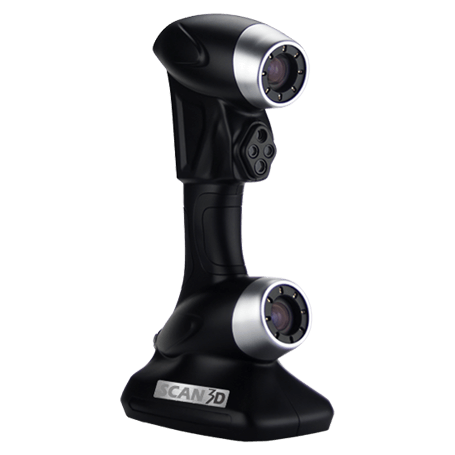
The longest scanning distance is not more than 3m, and the best scanning distance is generally 0.6 to 1.2 m. Usually, this type of scanner is suitable for the measurement of small molds. It not only has fast scanning speed but also has high precision. Three hundred thousand points accuracy to ±0.018 mm. For example, the VIVID 910 high-precision 3D laser scanner produced by Minolta, the FastScan handheld 3D data scanner, etc., all belong to this type of scanner.
2. Mid-range laser scanners
The 3D laser scanner with the longest scanning distance less than 30m belongs to the middle distance 3D laser scanner, which is mostly used for the measurement of large molds or indoor space.
3. Long range laser scanner
3D laser scanners with a scanning distance greater than 30m belong to long-distance 3D laser scanners, which are mainly used in the measurement of buildings, mines, dams, large-scale civil engineering, etc. For example, the LMS Z420i three-dimensional laser scanner produced by Riegl Company of Austria, the HDS 4400 and 8800 laser scanners of Leica Company, the I-Site 8800 scanner of Australia, etc., belong to this type of scanner.
4. Aerial Laser Scanner
The longest scanning distance is usually more than 1 km, and it needs to be equipped with an accurate navigation and positioning system, which can be used for scanning and surveying a wide range of terrain.
Regardless of the type of scanner, the principles of construction of 3D laser scanners are similar. The main structure of the 3D laser scanner is a high-speed and accurate laser rangefinder, coupled with a set of reflective prisms that can guide the laser and scan at a uniform angular velocity. The laser rangefinder actively emits laser light, and at the same time receives the signal reflected by the surface of the natural object, so that the distance can be measured. For each scanning point, the slant distance from the station to the scanning point can be measured. Obtain the spatial relative coordinates of each scan point and the station. If the spatial coordinates of the station are known, then the three-dimensional coordinates of each scan point can be obtained.
In recent years, 3D laser scanning technology has continued to develop and become more mature. At present, 3D scanning equipment is gradually commercialized. The great advantage of 3D laser scanners is that they can quickly scan the object to be measured, and can directly obtain high-precision images without reflecting prisms. Scan point cloud data. This enables efficient 3D modeling and virtual reproduction of the real world. Therefore, it has become one of the hotspots of current research, and has been widely used in the fields of digital protection of cultural relics, civil engineering, industrial surveying, natural disaster investigation, digital urban terrain visualization, urban and rural planning and other fields.
1. Surveying and mapping engineering fields: dam and power station foundation topographic surveying, highway surveying and mapping, railway surveying and mapping, river surveying and mapping, bridge and building foundation surveying and mapping, tunnel detection and deformation monitoring, dam deformation monitoring, tunnel underground engineering structure, measurement Mine and volume calculation.
2. Structural measurement: bridge reconstruction and expansion project, bridge structure measurement, structural inspection, monitoring, geometric dimension measurement, spatial position conflict measurement, spatial area, volume measurement, 3D high-fidelity modeling, offshore platform, survey shipyard, power plant, Measurement of internal equipment in large industrial enterprises such as chemical plants; measurement of pipelines, lines, manufacturing and installation of various types of machinery.
3. Architectural and monument surveying: measurement fidelity of the interior and exterior of buildings, protection and measurement of monuments (ancient buildings, statues, etc.), restoration of cultural relics, ancient building surveying, data preservation and other monuments protection, site surveying and mapping, fake imaging, on-site Virtual model, on-site protective video recording.
4. Emergency service industry: counter-terrorism, land reconnaissance and attack mapping, surveillance, mobile reconnaissance, disaster estimation, traffic accident orthophoto, crime scene orthophoto, forest fire monitoring, landslide and debris flow warning, disaster warning and on-site monitoring, Nuclear leak monitoring.
5. Entertainment industry: used in the design of film products, the design for film actors and scenes, the development of 3D games, virtual museums, virtual tour guides, artificial imaging, scene virtual, live virtual.